
The robots are fixing the roads now. Or at least, they’re trying to tell cities where the roads need fixing.
Waymo, Alphabet’s autonomous vehicle subsidiary, has begun offering cities something no one expected from a self-driving car company: pothole detection data. The company’s fleet of sensor-laden robotaxis, already mapping streets in painstaking detail to avoid obstacles, is now repurposing that information to help municipalities identify and prioritize road repairs. It’s a clever move — part civic goodwill, part strategic self-interest — and it raises questions about what happens when a private company knows more about your infrastructure than your own government does.
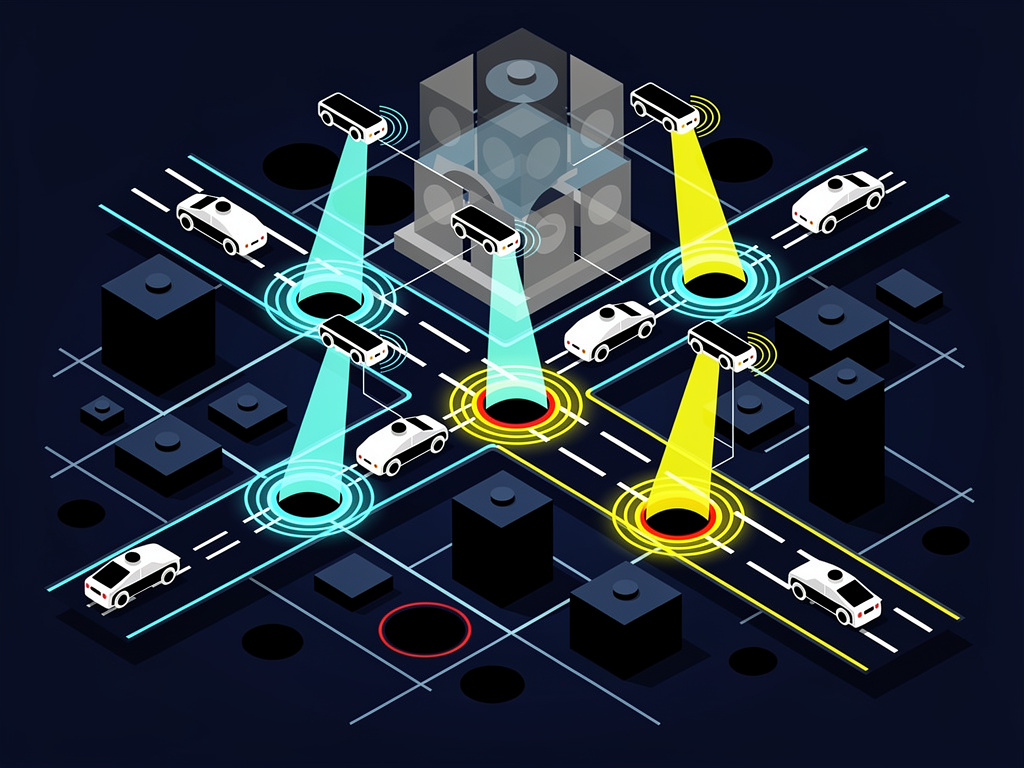
According to Slashdot, which covered the initiative, Waymo has been sharing road condition data with city officials in markets where its vehicles operate, including Phoenix, San Francisco, and Los Angeles. The data comes from the same lidar, cameras, and radar systems that allow Waymo’s vehicles to perceive the world around them at superhuman resolution. Every crack, depression, and surface anomaly gets logged.
Think about that for a moment. A fleet of vehicles driving the same streets day after day, hour after hour, building a continuously updated picture of road degradation that no city pothole hotline could ever match.
From Navigation Nuisance to Municipal Asset
Potholes aren’t just an annoyance for human drivers. They’re a genuine problem for autonomous vehicles. Sudden surface changes can confuse sensors, damage hardware, and create unpredictable vehicle behavior that erodes passenger trust. Waymo’s cars need smooth roads to operate at their best, which means the company has a direct financial incentive to see those roads repaired.
But the pitch to cities goes beyond self-interest. American infrastructure is crumbling at a pace that outstrips most municipalities’ ability to respond. The American Society of Civil Engineers gave U.S. roads a “D” grade in its most recent infrastructure report card. AAA estimates that pothole damage costs American drivers roughly $3 billion per year in vehicle repairs. Cities spend billions more on reactive maintenance — sending crews out after complaints roll in, rather than proactively identifying problems before they worsen.
Waymo’s data could change that calculus. Instead of relying on 311 calls and scheduled inspections, public works departments could receive real-time or near-real-time maps showing exactly where road surfaces are deteriorating, how quickly conditions are worsening, and which areas pose the greatest safety risk. Predictive rather than reactive. That’s the promise.
And Waymo isn’t alone in recognizing the opportunity. Several startups and tech companies have explored similar concepts. Google itself, Waymo’s parent through Alphabet, has experimented with using Street View imagery to assess road conditions. Ford tested pothole detection technology years ago using vehicle suspension sensors. But none of these efforts had the advantage Waymo now possesses: a growing commercial fleet that drives the same urban routes thousands of times, generating data density that a once-a-year Street View car simply can’t match.
The company’s approach also dovetails with a broader trend in smart city infrastructure. Cities like Columbus, Ohio, and Pittsburgh have invested in sensor networks and data platforms designed to monitor everything from traffic flow to air quality. Road condition monitoring fits naturally into that framework. What’s different here is that the data source isn’t a municipal investment — it’s a private company’s commercial fleet, offered as a kind of civic byproduct.
The Data Question Nobody’s Asking Loudly Enough
Here’s where things get complicated.
When a city accepts road condition data from Waymo, it enters into a relationship with a private company that has mapped its streets in extraordinary detail. That data doesn’t just show potholes. It shows traffic patterns, pedestrian density, cyclist behavior, construction activity, and the presence of other vehicles. The same sensors that spot a crack in the asphalt also capture everything else happening on that street.
Waymo has consistently stated that it takes privacy seriously and that its data-sharing with cities is limited to road surface conditions. The company anonymizes and aggregates information before sharing it, according to its public statements. But the underlying capability — the ability to monitor urban environments continuously and comprehensively — raises governance questions that cities are only beginning to grapple with.
Who owns the data? What happens if Waymo decides to stop sharing it, or starts charging for it? Could a city become dependent on a private company for basic infrastructure intelligence? These aren’t hypothetical concerns. They’re the kinds of questions that municipal IT directors and city attorneys should be asking right now.
There’s also the competitive angle. Waymo operates in a handful of cities. Cruise, its most prominent rival, suspended operations in late 2023 after a pedestrian dragging incident in San Francisco and has been slowly working to rebuild. Other autonomous vehicle companies — Zoox (owned by Amazon), Motional, and various Chinese firms including Pony.ai and WeRide — are at various stages of deployment. If pothole data becomes a bargaining chip for market access or regulatory goodwill, it could create an uneven playing field where the company with the most vehicles in a city also becomes its de facto road inspector.
So far, cities seem happy to take whatever help they can get. Phoenix, which has been Waymo’s most established market, has generally embraced the company’s presence and the ancillary benefits it brings. San Francisco, where public sentiment toward autonomous vehicles has been more contentious, may prove a tougher audience. But even skeptics tend to agree that better road data is better road data, regardless of the source.
The financial math is hard to argue with. A single pothole inspection vehicle operated by a city costs money to buy, staff, fuel, and maintain. Waymo’s fleet is already on the road. The marginal cost of extracting road condition data from existing sensor feeds is effectively zero for the company. For cash-strapped public works departments, free intelligence about where to send repair crews is difficult to refuse.
What Comes Next
Waymo’s pothole initiative is small in scope but significant in implication. It represents a new model for how private autonomous vehicle operators might integrate themselves into the civic fabric of the cities where they operate. Not just as transportation providers, but as infrastructure partners — companies whose vehicles generate public value simply by driving around.
This isn’t entirely altruistic, and nobody should pretend otherwise. Waymo benefits from smoother roads. It benefits from goodwill with city officials who control permitting and regulatory access. And it benefits from the narrative that autonomous vehicles are net positives for urban life, not just tech experiments imposed on reluctant communities.
But the benefits to cities are real too. The American Society of Civil Engineers has estimated that the U.S. faces a $786 billion backlog in road and bridge repairs. Any tool that helps prioritize that spending more effectively — directing limited dollars to the worst problems first — has genuine value.
The question is whether cities can accept that value without ceding too much ground. Data dependency is a real risk in an era when municipal budgets are tight and tech companies are eager to embed themselves in public services. The pothole data Waymo offers today could become the traffic management platform it sells tomorrow. Or the curb management system. Or the delivery logistics network.
None of that is inherently bad. But it requires cities to be clear-eyed about the relationships they’re entering into, and to negotiate from a position of informed awareness rather than gratitude.
For now, the potholes keep forming. The robots keep mapping them. And somewhere in a Phoenix public works office, a city employee is probably looking at a Waymo-generated heat map of road damage and thinking the same thing millions of American drivers think every spring: it’s about time somebody did something about these roads.
Even if that somebody is a car that drives itself.

