
NASA is working with Japanese startup MetroWeather Co. to map out wind patterns in an effort to improve drone and air taxi safety.
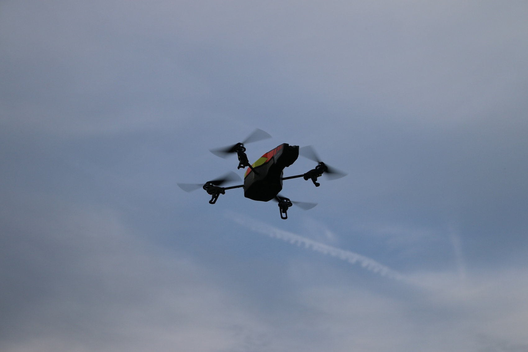
Drones are becoming more important than ever to many industries, including agriculture, retail, delivery, security and more. Given their lightweight design, however, winds can pose a major challenge for drones, especially models that have to traverse some distance across various wind patterns. The same goes for the relatively small electric air taxies that many companies are racing to develop and market.
NASA and MetroWeather are hoping to address the issue by mapping the wind, providing drone and air taxi operators a way to chart safe flight routes.
“Flying these things without knowing the wind and risking crashes is inconceivable,” MetroWeather CEO Junichi Furumoto said in an interview, according to Science X. “Even more so when people are the cargo.”
MetroWeather achieves its mapping using lidar sensors that measure the speed of dust and other particles in the air which, in turn, allows it to calculate wind speed and detect wind shear. According to Science X, with a range of 11 miles, “four of them perched on top of skyscrapers can cover all of central Tokyo.”
The technology promises to be an important step in the advancement of drones and air taxies alike.

