
Mapbox once built tools for developers who drew maps. Now the company supplies the spatial backbone for AI agents that talk, plan trips, and manipulate interactive visuals in real time. Its recent releases show a deliberate shift. Large language models gain the ability to reason about distance, traffic, and place without drowning in raw geographic data.
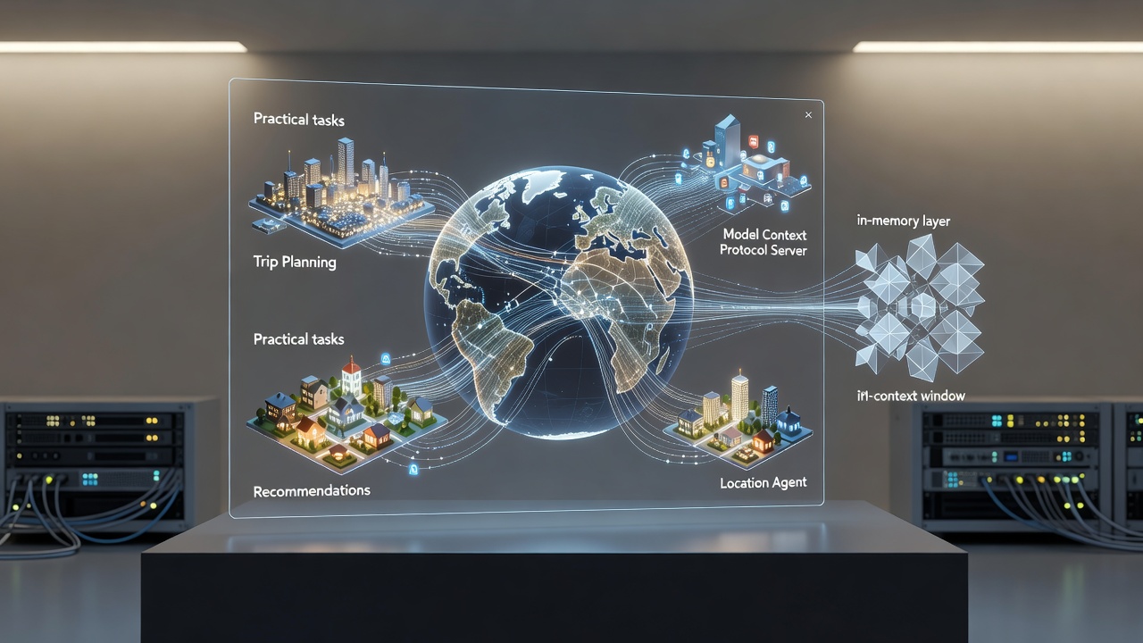
The change rests on a protocol that turns Mapbox APIs into tools an LLM can call directly. Introduced last summer, the Model Context Protocol Server gives agents structured access to geocoding, routing, search, and map rendering. Angela Navarro, director of engineering for location AI at Mapbox, described the problem clearly in the company’s announcement. “LLMs are excellent at language, but they have taken zero geography lessons.”
Without spatial awareness an assistant might suggest three nearby restaurants that sit in opposite directions. Or it might ignore current traffic when recommending a route home. The MCP Server fixes that gap. An agent can geocode a user’s location, pull live traffic data, find open pharmacies along the path, and calculate which detour adds the least time. It returns one coherent answer overlaid on a map. Mapbox blog.
Developers host the server themselves. They register the available tools with their application. Only a standard Mapbox access token is required to start making calls. The setup works with popular clients such as Claude Desktop. Integration stays lightweight yet unlocks multistep reasoning that feels native to the physical world.
That foundation supports something more ambitious. In November Mapbox demonstrated the Location Agent. This conversational system treats the map itself as the primary interface. Saras Nowak, principal product manager, explained the architecture. The LLM interprets the user’s query and geographic entities. The MCP Server fetches geocodes, geometries, and directions. Mapbox rendering libraries then layer the response directly onto an interactive map.
Try asking it for museums with special exhibits reachable by a 10-minute walk from hotels near Times Square. The agent geocodes the area, identifies hotels, builds an isochrone, queries museums inside that polygon, checks current exhibits, and plots results on the map. All in seconds. Similar flows handle delivery routes that avoid low bridges for tall trucks or recommend Chicago neighborhoods based on schools, parks, noise levels, safety, and walkability. Mapbox blog.
These examples move beyond static answers. The agent pans, zooms, tilts, and highlights features in response to follow-up questions. A user hunting the best hotel view of the Sphere in Las Vegas receives not only options but a 3D map adjusted to show the sightlines. Multi-turn conversations become practical for trip planning, site selection, and field operations.
By December Mapbox laid out four predictions for the year ahead. Ian Ward, in a presentation summarized on the company blog, forecasted that web search and geospatial tools would integrate tightly into major LLMs. Location intelligence would become a built-in capability, much like Google Maps inside Gemini. MCP implementations would evolve to handle larger geospatial payloads more efficiently. Specialized agents would multiply. And live data would turn non-negotiable because agents must ground their answers in the current state of roads, traffic, and points of interest. Mapbox processes hundreds of billions of location updates daily. That stream keeps agents honest. Mapbox blog.
One practical product already shows the direction. MapGPT serves as an in-vehicle AI assistant. It combines natural conversation with Mapbox routing and search. Automakers can embed it with custom voice, personality, and knowledge. A tiny on-device model handles basic exchanges without internet. When connectivity returns, the system taps the full cloud platform. The result feels like a knowledgeable copilot rather than a bolted-on navigation screen.
Yet raw data volumes still create headaches. Even advanced agents choke when asked to process large GeoJSON payloads. A modest wildfire perimeter dataset can exceed 500 kilobytes, translating to more than 125,000 tokens. Passing that through an LLM tool call wastes context, risks truncation, and drives up cost. The model ends up acting as a dumb pipe instead of a reasoning engine.
Allan Bogh of RidgeText confronted exactly this constraint while building an SMS-based service that overlays fire perimeters, trails, and weather alerts. His team created a Mapbox-compatible compositor that uses an in-memory layer queue. Data-fetching tools store GeoJSON server-side and return only tiny acknowledgments containing a layer ID and feature count. The LLM sees perhaps 150 tokens total across a sequence of calls. When the final generate-map tool runs, it drains the queue, pulls a base image from Mapbox Static API, and composites the layers using canvas tools. Ordering follows the exact sequence of tool calls, mirroring how Mapbox stacks layers in a style. RidgeText blog.
The approach delivers deterministic rendering. New data sources require only a new retrieval tool. The renderer itself can swap from static tiles to a headless Mapbox GL JS instance for 3D or animated output without changing anything the LLM touches. Trade-offs exist. The model cannot inspect geometry directly for questions like nearest city. That requires a separate text-based tool. The queue is ephemeral by default, though persistence in a database would support multi-turn refinement.
Bogh sees the pattern applying far beyond maps. Any pipeline where an LLM orchestrates multiple data sources but does not need to inspect the raw payload benefits. Log analysis, EV charger enrichment across APIs, or ETL jobs all fit. The key signal is simple. If the model receives data only to forward it unchanged to the next step, that data belongs somewhere else.
Industry observers have taken notice. A Medium recap of the 2025 Build with Mapbox conference highlighted rapid progress in agentic GIS workflows. Valentin Salmanovicius built a GeoAI agent with MCP in under an hour. Anu Sharma, vice president of product at Mapbox, then demonstrated an enhanced chatbot that sits beside the map and helps users explore and book within one interface. Antonio Zugaldia unveiled a voice-driven feedback agent that lets drivers report traffic, map errors, or vehicle issues safely without taking their eyes off the road. The LLM handles messy inputs and produces structured logs. Medium.
GeoAwesome’s coverage of The Next Geo 2026 event reinforced the theme. Cherie Wong, senior vice president of location services at Mapbox, described maps evolving from visualization products into programmable infrastructure that underpins logistics, mobility, and AI applications. Spatial intelligence now sits at the frontier. Reliable spatial reasoning separates systems that merely talk about the world from those that operate effectively inside it. GeoAwesome.
Adoption signals appear in unexpected places. Developers report that Mapbox documentation and structured data make it a frequent reference for LLMs building local search or mapping features. OpenStreetMap benefits from similar machine-readable advantages. The combination of clean APIs, vector tiles, and now agent-friendly protocols positions Mapbox as infrastructure for the next wave of location-aware AI.
Challenges remain. Live data quality varies by region. Token costs still matter at scale. Agents sometimes need guardrails so they do not suggest unsafe routes or violate privacy. Yet the trajectory looks clear. Conversation replaces clicks. Maps stop being static backgrounds and start acting as dynamic canvases that respond, explain, and act. What once required a team of cartographers and frontend engineers now emerges from a few well-orchestrated tool calls.
Mapbox has not simply added AI features. It has re-architected the boundary between language models and the physical world they increasingly help manage. The result is a quieter but more profound change than flashy demos suggest. Location intelligence stops being an afterthought bolted onto chat. It becomes core capability. Agents that understand where things are, how to get there, and what the terrain actually looks like today will shape everything from daily errands to enterprise logistics. The technology to make that possible sits in production today.


 WebProNews is an iEntry Publication