
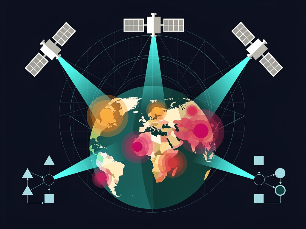
For decades, public health researchers have struggled with a fundamental problem: they can’t fight diseases they can’t see coming. Malaria, dengue fever, cholera — these killers thrive in specific environmental conditions, but mapping those conditions across entire continents has been, until now, an exercise in educated guesswork. Google thinks it has found a way to change that, and the scale of what it’s attempting is staggering.
On July 15, 2025, Google announced a sweeping initiative that fuses its Earth observation capabilities with artificial intelligence to predict and prevent disease outbreaks across the developing world. The effort, detailed on Google’s official blog, brings together Google Earth Engine, the company’s Gemini AI models, and vast troves of satellite and environmental data to give public health officials what amounts to an early-warning system for epidemics. It’s not a single product. It’s an interlocking set of tools designed to tackle diseases that kill hundreds of thousands of people every year — diseases that are, in many cases, entirely preventable.
The numbers tell a grim story. Malaria alone killed an estimated 608,000 people in 2022, according to the World Health Organization, the vast majority of them children under five in sub-Saharan Africa. Dengue fever infects roughly 400 million people annually. Cholera, a disease many in wealthy nations assume was conquered in the 19th century, still causes up to 143,000 deaths per year. These diseases share a common thread: their spread is intimately tied to environmental factors like standing water, temperature, humidity, and vegetation patterns. Factors that satellites can observe from space.
Google’s approach starts with something the company has been building for over a decade — Google Earth Engine, a cloud-based platform that processes petabytes of satellite imagery and geospatial data. Researchers already use it to track deforestation, monitor water resources, and measure urban sprawl. Now Google is layering AI on top of that foundation to create disease-specific prediction models. The company is working with the WHO, the Global Fund to Fight AIDS, Tuberculosis and Malaria, and a constellation of academic and nonprofit partners to deploy these tools where they’re needed most.
The malaria work is the furthest along. Google has developed what it calls high-resolution environmental risk maps that can identify, down to the village level, where malaria transmission is most likely to spike. The models ingest satellite data on surface water, land use, vegetation indices, temperature, and precipitation, then combine it with epidemiological records to produce granular forecasts. This isn’t just academic modeling. In pilot programs across parts of Africa, these maps are being used by national malaria control programs to decide where to deploy insecticide-treated bed nets, where to conduct indoor residual spraying, and where to pre-position rapid diagnostic tests and antimalarial drugs.
The precision matters enormously. Malaria control budgets are finite — desperately so. The Global Fund, the largest external funder of malaria programs, disbursed approximately $4.2 billion for malaria in its most recent funding cycle. That sounds like a lot. It isn’t, not when you’re trying to protect hundreds of millions of people across dozens of countries. Every bed net sent to a low-risk area is a bed net that doesn’t reach a high-risk one. Every spraying campaign that targets the wrong district is money and time that can’t be recovered. If Google’s models can improve targeting even modestly, the downstream effects on lives saved could be substantial.
But Google isn’t stopping at malaria. The company’s blog post describes parallel efforts on dengue, a mosquito-borne viral disease that has exploded in geographic range over the past two decades, driven in part by climate change and urbanization. Dengue’s spread is closely linked to the presence of Aedes aegypti mosquitoes, which breed in small containers of standing water — flower pots, discarded tires, rain barrels. Identifying breeding hotspots from space requires a different analytical approach than tracking the Anopheles mosquitoes that carry malaria, which tend to breed in larger bodies of standing water like ponds and rice paddies.
Google’s AI models for dengue are trained to recognize the urban and peri-urban environmental signatures that correlate with Aedes proliferation. Think of it as pattern recognition at continental scale: the models look at land surface temperature, rainfall anomalies, urban density, and historical case data to generate risk scores for specific areas. Several countries in Latin America and Southeast Asia — the two regions hardest hit by dengue — are reportedly in discussions with Google and the WHO about integrating these risk scores into their national surveillance systems.
Then there’s cholera. The disease is caused by the bacterium Vibrio cholerae, which thrives in contaminated water. Outbreaks tend to follow floods, displacement events, and breakdowns in water and sanitation infrastructure. Google’s cholera-related work focuses on using satellite imagery and AI to map flood risk, identify areas with inadequate sanitation, and predict where outbreaks are most likely after extreme weather events. Given that climate change is increasing the frequency and severity of flooding in vulnerable regions, this capability could become increasingly critical in the years ahead.
The technical backbone of the effort is Gemini, Google’s most advanced family of AI models. According to the company, Gemini’s multimodal capabilities — its ability to process and reason across text, images, and structured data simultaneously — make it particularly well suited for the kind of complex, multi-variable analysis that disease prediction demands. A traditional epidemiological model might incorporate a handful of environmental variables. Gemini can, at least in theory, synthesize satellite imagery, climate data, population movement patterns, health system capacity data, and historical outbreak records into a single predictive framework.
Theory and practice, of course, are different things.
Skeptics in the global health community have raised legitimate questions about the initiative. One concern is data quality. Satellite imagery is only as useful as the ground-truth data it’s validated against, and in many of the countries where these diseases are most prevalent, health surveillance systems are weak. Malaria cases go unreported. Dengue is frequently misdiagnosed. Cholera outbreaks in remote areas may not be detected for days or weeks. If the AI models are trained on incomplete or biased ground data, their predictions could be systematically skewed — potentially directing resources away from areas that need them most.
Another concern is sustainability. Google is offering many of these tools at no cost to governments and public health organizations, which is generous but also creates dependency. What happens if Google’s priorities shift? What happens if a future cost-cutting measure scales back the Earth Engine team or the health AI division? Public health programs that have built their surveillance and response systems around Google’s tools would be left scrambling. This isn’t a hypothetical worry — Google has a well-documented history of launching ambitious projects and then quietly sunsetting them.
And there are privacy considerations. Mapping disease risk at the village level, combined with population movement data, creates datasets that could be misused by authoritarian governments or exploited commercially. Google says it is committed to responsible data governance and that individual-level data is never shared. But the company’s assurances on data privacy have been tested before, and the stakes in global health contexts — where stigmatized diseases can lead to discrimination — are particularly high.
Still, the potential upside is hard to dismiss. Dr. Tedros Adhanom Ghebreyesus, the WHO’s Director-General, has been vocal about the need to bring advanced technology to bear on neglected tropical diseases and other health threats that disproportionately affect the world’s poorest populations. The WHO’s collaboration with Google on this initiative signals that the organization sees real value in what’s being offered, even if the partnership carries risks.
The timing of Google’s announcement is notable. The company is making this push as the tech industry faces growing scrutiny over the societal impact of AI. Efforts like this one — AI applied to saving lives rather than selling ads — serve a dual purpose: they generate genuine public good and they generate goodwill at a moment when Google needs it. That doesn’t make the work less valuable. But it’s worth understanding the corporate incentive structure alongside the humanitarian one.
Climate change adds urgency. Mosquito-borne diseases are expanding into regions where they were previously rare, including parts of southern Europe and the southern United States. The WHO has warned that climate change could cause an additional 250,000 deaths per year from malaria, heat stress, diarrheal disease, and malnutrition between 2030 and 2050. Tools that can anticipate where disease vectors are moving — and how fast — could prove invaluable for health systems trying to stay ahead of shifting threats.
Google’s Earth Engine already processes data from the Copernicus Sentinel satellites, NASA’s Landsat program, and numerous other sources. The platform makes more than 80 petabytes of geospatial data available for analysis. Layering Gemini’s reasoning capabilities on top of that data store creates something genuinely new: the ability to ask complex, natural-language questions about environmental health risks and get answers grounded in current satellite observations. A health minister in Mozambique could, in principle, query the system about flood-related cholera risk in a specific province and receive an actionable risk assessment within minutes.
Whether that vision becomes reality depends on execution. The gap between a polished product demo and a tool that works reliably in low-bandwidth environments, integrates with existing health information systems, and earns the trust of local health workers is vast. Google has the engineering talent and computational resources to build the technology. The harder part — the part that determines whether any of this actually saves lives — is the messy, unglamorous work of implementation: training users, validating models against local conditions, iterating based on feedback from the field, and maintaining the infrastructure year after year.
Some of that implementation work is already underway. Google has partnered with research institutions including the Telethon Kids Institute in Australia and the Barcelona Supercomputing Center in Spain on disease modeling. It has worked with national health authorities in multiple African countries on malaria mapping. And the company has invested in building local capacity, training epidemiologists and data scientists in partner countries to use Earth Engine and interpret AI-generated risk assessments independently.
The broader implications extend beyond any single disease. If Google can demonstrate that satellite imagery plus AI can meaningfully improve public health outcomes, it establishes a template that could be applied to other threats: antimicrobial resistance, pandemic preparedness, food security, even mental health correlates tied to environmental stressors like air pollution and extreme heat. The infrastructure being built for malaria and dengue could become the foundation for a much wider set of applications.
That’s the optimistic read. The pessimistic one is that this becomes another case of Silicon Valley techno-solutionism — a flashy initiative that generates headlines and conference presentations but fails to move the needle on outcomes that matter. Global health is littered with examples of promising technologies that couldn’t survive contact with the realities of under-resourced health systems, political instability, and the sheer complexity of disease transmission dynamics.
The truth will likely land somewhere in between. Google’s AI and satellite tools won’t eliminate malaria or dengue or cholera. But they don’t need to. If they can help health authorities allocate scarce resources 10% or 20% more efficiently, the cumulative impact over years and across countries would be measured in tens of thousands of lives. Maybe more.
So the question isn’t whether the technology works in a lab or a demo. It’s whether Google and its partners can make it work in the places where it matters most — in rural clinics with intermittent electricity, in health ministries with limited technical staff, in communities where trust in outside institutions is fragile. That’s not an engineering problem. It’s a human one. And it’s the one that will determine whether this initiative becomes a footnote or a turning point in how the world fights disease.


 WebProNews is an iEntry Publication